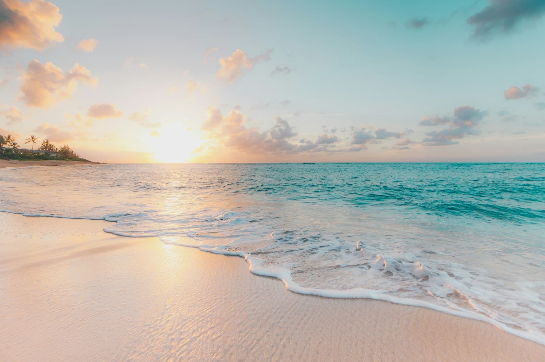
Cape Tribulation section
Cape Tribulation: where rainforest meets the reef
Cape Tribulation is the northern section of Daintree National Park (CYPAL). Rainforest-clad mountains drop onto long sandy beaches facing the Great Barrier Reef — one of the few places you can stand between two World Heritage properties. You reach it by the Daintree River cable ferry.
Two World Heritage properties in one headland
Cape Tribulation is the northern section of Daintree National Park (CYPAL). Queensland Parks describes rainforest-clad mountains sweeping down to long sandy beaches. Offshore sits the Great Barrier Reef World Heritage Area. That “rainforest meets reef” line is a geography fact, not a slogan: from Mount Alexandra lookout you can see both properties on a clear day. Parks Australia and GBRMPA publish the reef-side rules; Queensland Parks publishes the forest-side tracks and alerts.
Lieutenant James Cook named the cape in June 1770 after HM Bark Endeavour struck a reef — “because here began all our troubles.” The sealed tourist road, the cable ferry and the boardwalks came much later. Cape Tribulation National Park was declared in 1981 over about 17,000 hectares of remaining lowland rainforest and later amalgamated into Daintree National Park. The Wet Tropics listing followed in 1988. The headland you stand on is Eastern Kuku Yalanji country, jointly managed with the Jabalbina Yalanji Aboriginal Corporation.
What visitors feel, if they give it more than a coach stop, is how abruptly the canopy ends. One moment you are on a boardwalk among fan palms and lawyer vine; the next you are on pale sand looking at a lagoon that is technically the inshore Great Barrier Reef. That edge is why the historic site treated Cape Tribulation as its flagship day, not a footnote to Mossman.
What the historic tour pages were selling
Wayback snapshots of /cape_tribulation_day_tour.htm describe a Tropics Explorer circuit that still reads as the modern day tour: Cairns or Port Douglas pickup, light breakfast, Daintree River cruise, Maardja or Jindalba boardwalk, lunch, Alexandra Range lookout, cable ferry, Mossman Gorge swim, and time in Port Douglas. Sister URLs packaged horse riding on Myall Beach, jungle surfing, a reef day, and a three-day Ferntree Lodge stay. Those aliases now 301 here or to accommodation and itinerary hubs. The 2006 prices do not.
Those old pages were honest about one thing: Cape Tribulation is not a village you wander for restaurants. Services cluster thinly along the road. Fuel, meals and rooms exist, but they are not Cairns. Plan food and a ferry window before you cross. If dinner culture is the point of the trip, sleep in Port Douglas and treat the cape as a day. If the forest is the point, sleep at Cow Bay or the cape and walk at first light.
Walks and beaches to plan around
- Marrdja / Maardja boardwalk — mangrove to rainforest loop; the spelling varies on older operator pages. It is the walk that explains why this coast is tidal as well as tropical.
- Jindalba boardwalk — lowland rainforest near Cow Bay / Diwan, often quieter than the cape car park at midday.
- Kulki — short boardwalk and lookout at Cape Tribulation Beach itself.
- Myall Beach — long strand south of the cape; historic horse-ride country.
- Mount Alexandra / Alexandra Range lookout — the classic two-World-Heritage view, usually a stop on the way north or south of the ferry.
Longer and seasonal walks, including routes that lean toward the Bloomfield Track, need current Queensland Parks alerts. After heavy rain the forest is louder, the creeks are higher, and leeches are not a rumour. Boardwalks exist because the ground is a root plate, not a lawn. Stay on them. That is both a safety rule and a cultural one — this is not unused bush.
Wildlife, swimming and the road
Southern cassowaries still use the Cape Tribulation Road verge, especially at dawn and dusk. They are endangered, they can injure people, and feeding them is how the next bird learns to expect a handout. Slow down. Never get out of a car to herd a bird toward a lens. Estuarine crocodiles use the river, the river mouth, and some beaches and creeks. A licensed river cruise is the correct way to look for crocs. The cape is not a swimming holiday in the Gold Coast sense.
Beaches north of the Daintree can have crocodiles, marine stingers in the warmer months, and no lifeguard service. Many visitors paddle only at clearly signed spots and never in creeks. Follow on-site Queensland Parks and stinger-season advice rather than a blog memory of “we swam fine in July.” Reef walking and snorkel days from Cow Bay or Cape Tribulation are separate commercial trips with their own weather and marine-park rules — confirm those with the operator and, for the reef estate, GBRMPA or Parks Australia marine pages.
Village services, fuel and a honest night
Cape Tribulation village is a thin ribbon of road, not a resort strip. You can eat. You can sleep. You can buy a forgotten rain jacket on a good day. You cannot assume a late kitchen, a late fuel pump, or a pharmacy. If you need those, stay in Port Douglas and treat the cape as a day, or arrive north of the ferry with food already in the car.
That thinness is also the point. When the last coach leaves, the road goes quiet enough that a cassowary crossing is a real possibility rather than a story someone told on the boat. Night at the cape is frogs and generator schedules, not a laneway bar crawl. If that sounds like the trip you meant to book, stay. If it sounds like a problem, you wanted Port Douglas and a gorge morning.
The Bloomfield Track is not the day-tour encore
North of the village the sealed tourist road ends and the Bloomfield Track begins: a 4WD-only coastal route that is often closed or difficult in the wet season. Hire-car contracts frequently forbid it. It is not part of a standard Daintree day tour and it is not a shortcut home to Cairns. If you have a capable vehicle, experience, and a current open notice from Queensland Parks or the relevant shire, it is a different trip. If you do not, turn around at the cape and recross the ferry with margin.
Getting here is the ferry chapter. Staying here is the accommodation chapter. Pairing it with a cruise is the river chapter. A first-timer day from Cairns is written out on the day-trip page.
Cook’s 1770 naming is a historical fact Queensland Parks still uses. It is not a reason to treat the headland as empty wilderness that began when a ship hit a reef. Eastern Kuku Yalanji people were here. Joint management is how the park is run now. Read the visitor notes before you caption a photograph as if the forest were uninhabited scenery.
Facts on this page are drawn from public Queensland Parks and Wildlife Service pages for Daintree National Park (CYPAL), Parks Australia for federal park context, the Wet Tropics Management Authority, the UNESCO Wet Tropics listing (inscribed 1988), Mossman Gorge Centre, and Douglas Shire Council ferry information. Historic daintreetours.com.au itineraries (Wayback 2006–2014) inform URL structure and the shape of old packages — not live prices or times. Bookings and fees belong on operator, QPWS and council sites. https://parks.qld.gov.au/parks/daintree
Questions people ask
How do you get to Cape Tribulation?+
Drive or take a tour north from Cairns or Port Douglas on the Captain Cook Highway, then Cape Tribulation Road. A Douglas Shire cable ferry crosses the Daintree River. There is no bridge. Check current ferry hours and fares on the council website before you leave.
Why is it called Cape Tribulation?+
Lieutenant James Cook named the cape on 10 June 1770 after HM Bark Endeavour struck a reef nearby — “because here began all our troubles.” The name is recorded in Cook’s journal and is used by Queensland Parks today.
What walks are at Cape Tribulation?+
The two visitor-favourite Queensland Parks boardwalks are Marrdja (mangrove to rainforest) and Jindalba. Kulki boardwalk and lookout sit at Cape Tribulation Beach itself. Longer and seasonal walks (including north toward the Bloomfield Track) need current park alerts.
Can you swim at Cape Tribulation Beach?+
Beaches north of the Daintree can have crocodiles, stingers in the warmer months, and no lifeguard service. Many visitors paddle only at clearly signed spots and never in creeks or the river mouth. Follow on-site Queensland Parks and stinger-season advice.
Is the Bloomfield Track open?+
The Bloomfield Track north of Cape Tribulation is a 4WD-only coastal road and is often closed or difficult in the wet season. It is not part of a standard Daintree day tour. Check Queensland Parks and Cook Shire / Douglas Shire notices rather than assuming it is passable.
How long do you need at Cape Tribulation?+
A day-tour stop is often 20–40 minutes at the beach or a boardwalk. A night north of the ferry lets you walk at first light and sit on Myall Beach without watching the return coach. Two quiet walks plus a lookout is a full day if you self-drive.
Ready to plan a Daintree day?
Start with the rainforest tour hub or the Cairns day-trip itinerary. Confirm ferry hours, park alerts and operator inclusions before you book.